Byron Hinterland
 Today I went for a spin in the Byron hinterland, as the area inland from the bay is known. In particular I wanted to see Minyon Falls. I visited it in 2002, during a long drought, and there was a bare trickle of water flowing over the falls. I thought it would be different now, since the region has been drenched with over 30 inches of rain in the first two months of 2013! The back roads, narrow, winding, and very rural, are filled with potholes...big ones! In a couple places I had to drive through a few inches of water flowing over the road. One road was closed. But I made it to the magical, mist shrouded rainforest in Nightcap National Park.
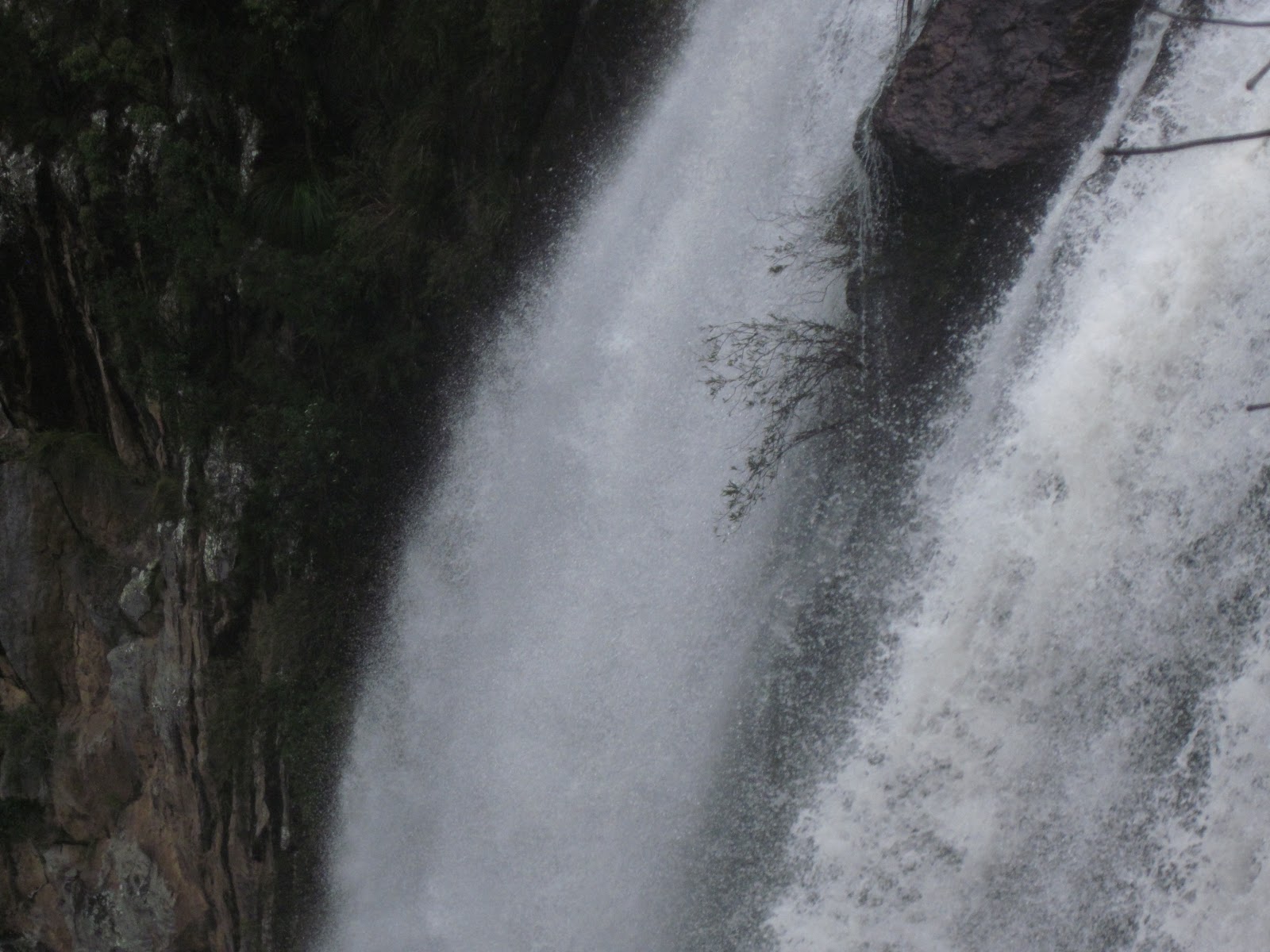 And indeed, Minyon Falls was roaring! The beleagured bush in the middle of the torrent obviously took root during drier times.
 From a couple km away, the falls is framed nicely by the rainforest. Minyon is about 100 metres high.
 The town of Bangalow, between Byron Bay and the falls, retains its old Aussie country facade, though it's busier than in bygone days.
 This abstract picture was taken at Tallow Beach, where Tallow Creek heads into the ocean. To the left is very shallow water, colored by the tannin in the forest around the creek. The incoming tide pushes sand up to the center of the pic. To the right, the sandbar ends and the water is much deeper, thus darker. I love to swim in the tannin lakes here. The surface water is verrrry warm...at least 85 degrees. But there's a thermocline about two feet down; the water there is 70 at most.
  Hora Feliz at Tallow Beach. In 2001 I developed a routine where I'd go to the beach in late afternoon, lay out my beach mat, produce some adult beverages out of my pack, break out a good book, and sloat out for a while. This has proved to be a very pleasurable gig and I repeat it every time I'm in the area. Cheers!
posted by oldsloat @ 1:46 AM
0 comments
![]()
![]()

0 Comments:
Post a Comment
<< Home