Crossing the South Island
 Earllier this week I traversed Arthur's Pass, crossing the South Island from east to west. About halfway across I came upon Castle Hill, an area of bizarrely shaped rocks...karst limestone, to be exact. You could hike among them, and they're popular with rock climbers.
 At Arthur's Pass I did a short but steep hike to Devils Punchbowl Falls. Well, that's the Pakeha name...the Maori name, Hinekakai, is prettier, I reckon. Though the trail was only about a km in length, it involved climbing 261 steps...and, cruelly, when returning you had to climb 74 more while descending the 261. Wheels were shot after this trek. Lots of gnarly trees in this area...mainly southern beech. If you think some of these trees would make good ents, well, Lord of the Rings and The Hobbit were filmed in New Zealand, after all.
 The wispy bottom of Hinekakai Falls. At 131 metres high, it's quite substantial.
 Now we're descending from the 900 metre summit of Arthur's Pass. This is the Otira Canyon viaduct, quite an engineering feat, and beautiful.
 A patch of the local wildflowers.
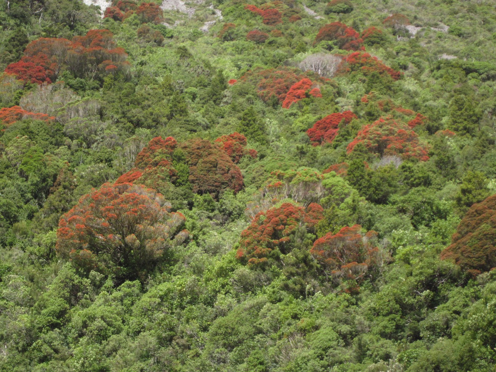 Rata trees are blooming on the mountainsides of Arthur's Pass, dappling the heights in red.
 Anyone who has been to the coast of far Northern California has seen the vast gravel riverbeds. They occur in areas where the normal flow of a stream is small, but massive floods completely submerge the river valley often enough to preclude much vegetation growth. Many of the river valleys in the Southern Alps are even vaster than those in Cali! It must be quite a spectacle when these are filled with water. Probable scenario would be the same as in Nocal...a warm, wet rainstorm melting a deep snowpack.
posted by oldsloat @ 11:44 PM
0 comments
![]()
![]()

0 Comments:
Post a Comment
<< Home